UNESCO-World Heritage Site Sardona
A unique glimpse into the formation of the Alps
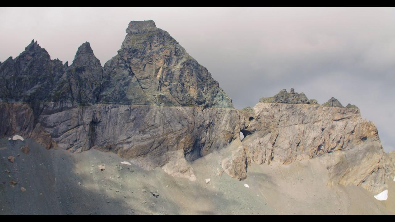
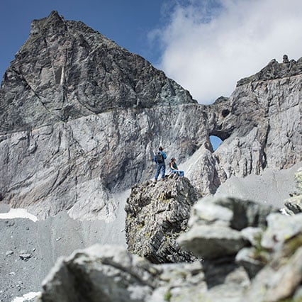
Have you always wondered how the Alps were formed? Then you’ve come to the right place at the UNESCO-World Heritage Site Sardona. There is hardly any other place in the world where you can see how mountains are formed as well as in the region above Flims. For this reason, the Tectonic Arena Sardona was recognised as a World Heritage Site by UNESCO together with an area spanning 32,800 hectares in 2008. If you are interested in how the world looked when the Glarus thrust was still active, you should take a look around the visitor pavilion Sardona or download the "Sardona Aktiv" app.
Visitor Pavilion Sardona
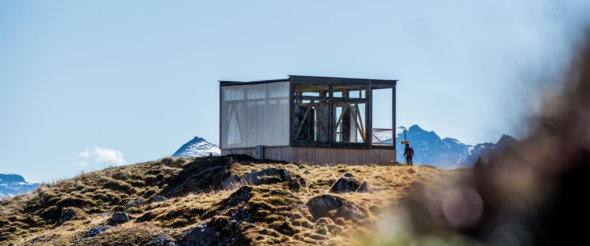
In the visitors' pavilion Sardona at the Segneshütte you get a unique insight into the history of the origin of the alpine mountains and the biggest landslide in the Alps. Immerse yourself in the past and travel back to the origins of the geological highlights of our region. The pavilion is open every day and every Sunday an expert GeoGuide gives you a modern view of the origins of the Alps.
Dates
Open daily
Prices
Free for all (no registration necessary)
“GeoGuides explain”
Sundays from 11 am to 3 pm from June 30 to October 20, 2024 (weather permitting)
Suggested hikes
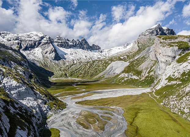
Lower Segnesboden: Grauberg - Nagens
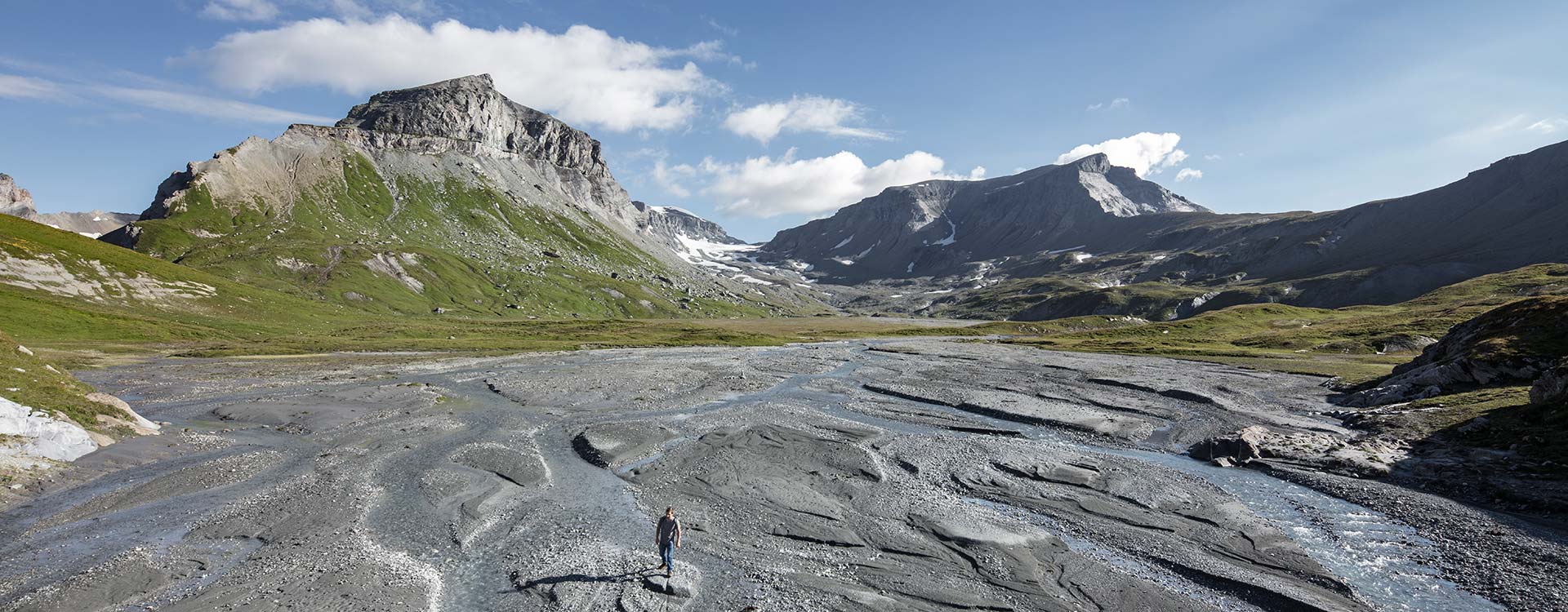
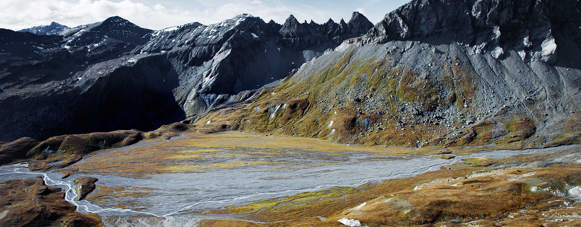
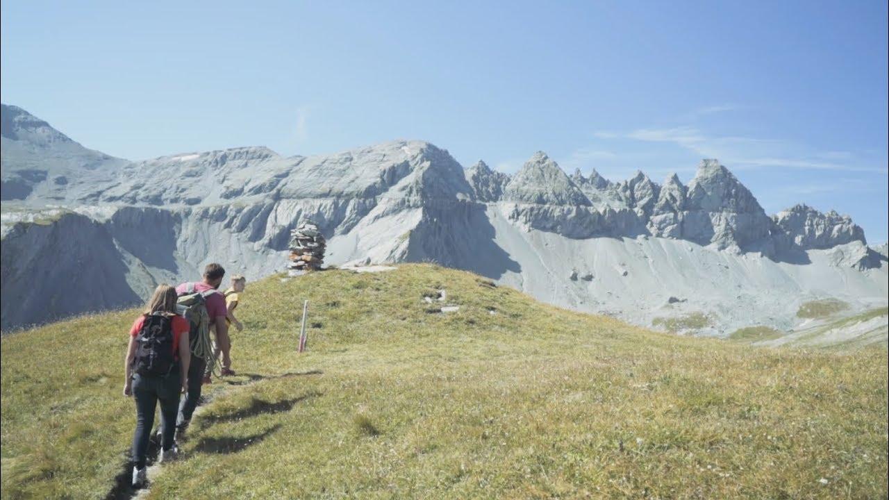
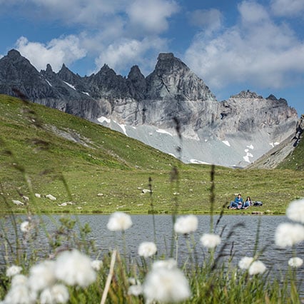
The plateau can be experienced on a two-hour hike from the Grauberg mountain station. The Lower Segnesboden is part of the national inventory of fens of particular beauty and importance. At the same time, Untere Segnesboden is one of only two fenland protected areas in Switzerland that shows no traces of settlement. Untere Segnesboden can be reached easily on a two-hour hike from the top station of the Grauberg cable car. On the way, the Segneshütte invites you to take a break.
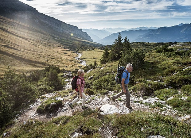
Trutg dil Flem, upper part
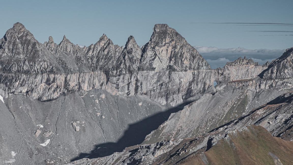
A wild mountain stream, a fairy-tale forest, several bridges and a breathtaking mountain panorama in the heart of the UNESCO-World Heritage Site Sardona. Trutg dil Flem leads you along the Flem stream from the Segnesboden, passing through the site of the largest landslide in European history, before returning to Flims. From the lower Segnesboden, you can enjoy wonderful views of the Tschingelhörner. On the descent back to the town, you will cross seven bridges, some of them based on audacious designs, before returning to the Flims fairy-tale forest.
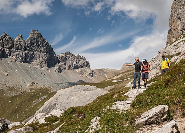
Etappe 6: Elm - Flims
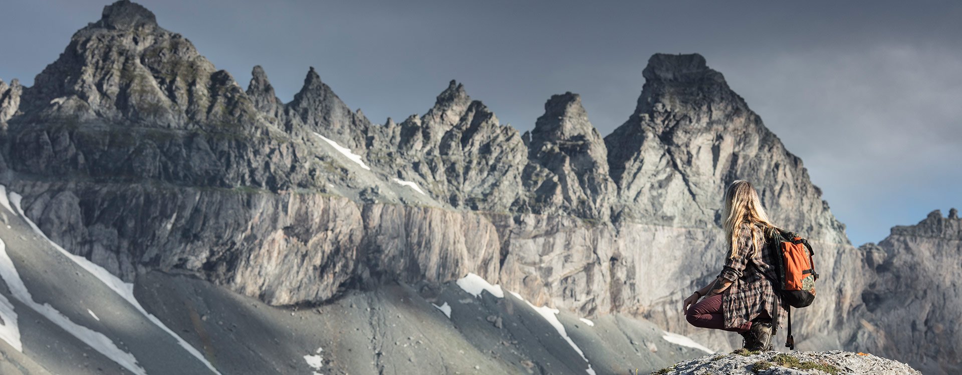
The first almost 500 meters of altitude up to Tschinglen-Alpkann can be overcome with the Tschinglen cable car. There are also refreshment and overnight accommodation facilities here. This is followed by the steep ascent to Brünschegg, from where the summit jags of the Tschingelhörner are very clearly visible above the razor-sharp line of the Glarus main overthrust. Arriving at the Segnespass, you have a magnificent mountain panorama. The steep descent follows over the lower Segnesebene to the Segneshütte, from where the Flimserstein becomes visible. Via the Trutg dil Flem you descend to Flims, the destination or starting point of the Sardona World Heritage Trail.
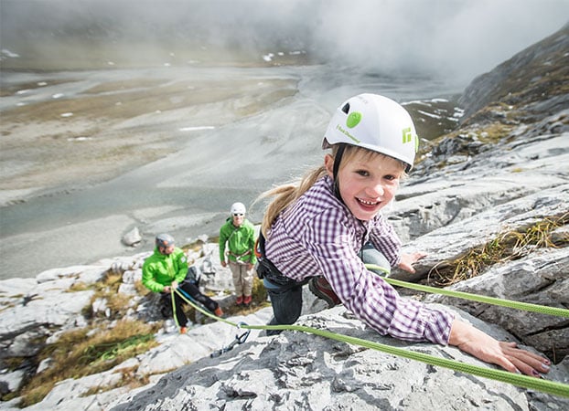
Segnesboden climbing garden
Looking to try out the fascinating world of climbing sports for the first time? This high mountain valley situated at 2,100 metres above sea level with 31 climbing routes is the perfect place for novices and families to make their first attempts. The rocks on the Segnesboden are strong limestone rock, perfect for climbing. In preparation, take note that the walls of the Segnesboden climbing garden may still contain traces of snow at the beginning of summer due to its high altitude and location.

